Drones reduce costs and environmental impact in fairway maintenance
News 2026-06-25
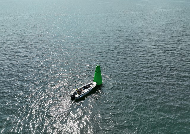
The Swedish Maritime Administration saves time, money and fuel by using drones for the annual surveying of buoys and navigation marks in shipping channels. Recent tests show significant efficiency gains.
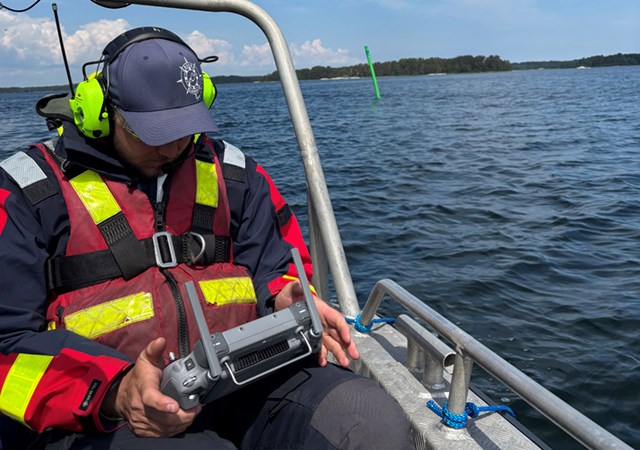
The Swedish Maritime Administration recently conducted drone trials to survey around one hundred floating aids to navigation in the archipelago between Kapellskär and Möja. The aim was to determine whether drones could save time and fuel compared with traditional surveying from a workboat, thereby reducing both emissions and costs.
The test results point to major efficiency gains in terms of both time and fuel consumption. For example, a survey that took 12.5 hours by workboat was completed in just over 2.5 hours using a drone instead — a time saving of almost 80 percent.
Fuel consumption was reduced by just over 92 percent. During the trial, a petrol-powered boat was used, and fuel use fell from the equivalent of 1,284 litres of diesel to 100 litres of petrol. As a result, carbon dioxide emissions also fell by just over 93 percent, from 3,467 to 230 kilograms. The total cost saving amounted to just over 84 percent — SEK 1,600 using a drone compared with SEK 10,272 using a workboat.
Previous trials had already provided clear indications that drones could be used to survey aids to navigation, and the results at that stage pointed to significant potential for the method. However, it was by no means certain in advance that the full-scale trial would prove as successful as it did.
“The results clearly exceeded our expectations and showed that drone-based surveying is not only a fully viable alternative to traditional methods, but in several respects a considerably more sustainable way of working,” says Peter Widell, Head of Fairway Operations at the Swedish Maritime Administration.
The Swedish Maritime Administration has begun planning the surveys to be carried out in spring 2027. Work is currently under way to identify the geographical areas best suited to drone-based surveying. The goal is to pinpoint the locations where the method can deliver the greatest benefits, both in terms of time savings and environmental impact.
“Although the planning process is still under way, there are strong indications that drones will play a central role in next year’s work. In all likelihood, we will survey a large proportion of our floating aids to navigation using drone technology in 2027. This would represent an important step towards a more sustainable and modern approach to our surveying operations,” says Peter Widell.