S-100: The Dynamic Nautical Charts of the Future
S-100 Universal Hydrographic Data Model (S-100) is a set of international data standards for designing and managing maritime geospatial information services. S-100 is developed by the International Hydrographic Organization (IHO) and is becoming the new international standard, intended, among other things, to ensure that products and services function consistently in navigation systems regardless of where in the world they are used.
Sweden and the Swedish Maritime Administration have been driving forces in the development of these new standards since the beginning.
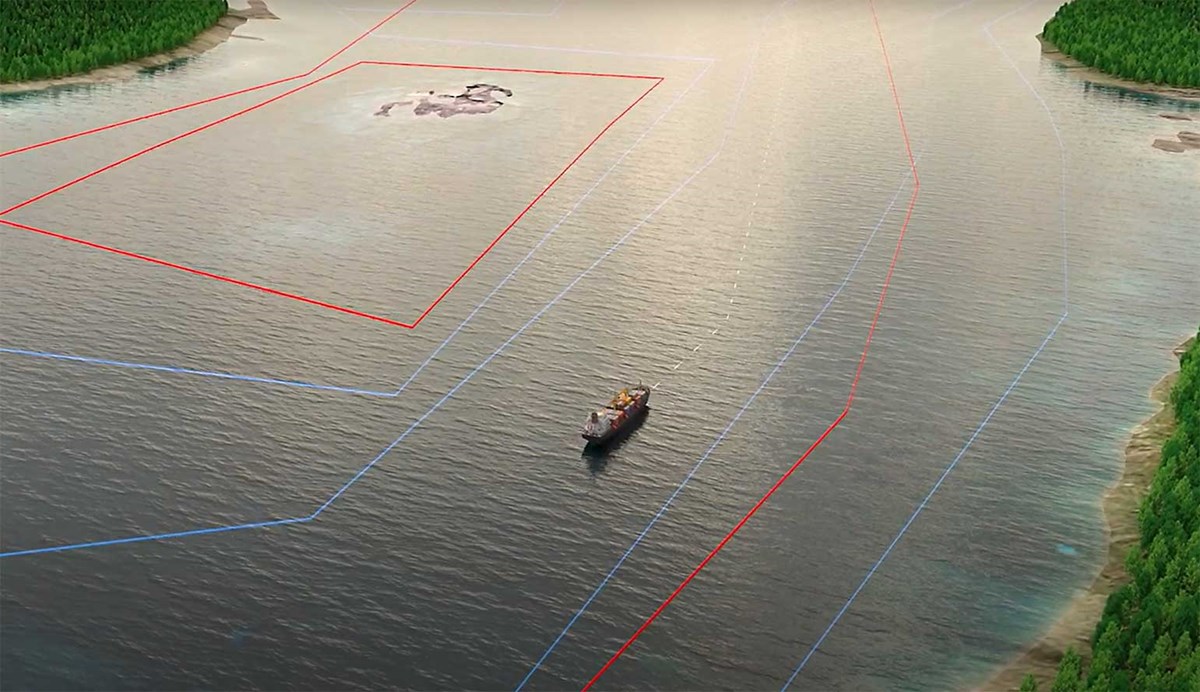
S-100 makes it possible to combine different types of digital nautical information, providing navigators with better decision support, for example:
- Electronic Navigational Charts (ENCs)
- High-resolution bathymetric data
- Surface water currents
- Water levels
- Weather information
- Aids to navigation
- Port information
Benefits of S-100
With hydrographic products and services based on S-100, it becomes possible to use data from different sources and with different update frequencies in near real time. This contributes to:
- Safer navigation for people, cargo and the environment
- More efficient routes that reduce carbon dioxide emissions and environmental impact
- Lower costs for shipping through improved fuel efficiency and time savings
- Optimized voyage planning and safer execution of vessel voyages
Implementation of S-100
The Swedish Maritime Administration plans to gradually introduce S-100-based navigational information starting in January 2026.
Navigation Products and Services
As S-100 will replace today’s electronic navigational charts, a range of products and services are currently under development, initially by the Swedish Maritime Administration and, over time, also by other stakeholders in Sweden. The products and services planned to become available over the coming years are listed below.
Last updated 2026-08-20