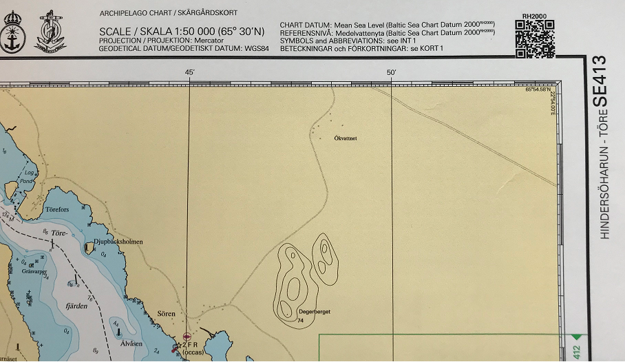
RH2000
The sea level is presented in relation to the zero level in the National Height System 2000 (RH 2000).

When both the charts and the current sea level refer to the reference level RH 2000, the sea level is the only thing you need to keep track of to calculate the current depth.
The sea level is presented in relation to the zero level in the National Height System 2000 (RH 2000). Internationally, the reference level RH 2000 is also referred to as the Baltic SEa Chart Datum 2000 (BSCD2000). In some applications, the sea level is also shown in relation to the mean sea level (also called mean sea surface, MVY). The difference between RH 2000 and the mean sea level varies along the coast and will be 17 cm or less over the next 10 years (see adjacent links).
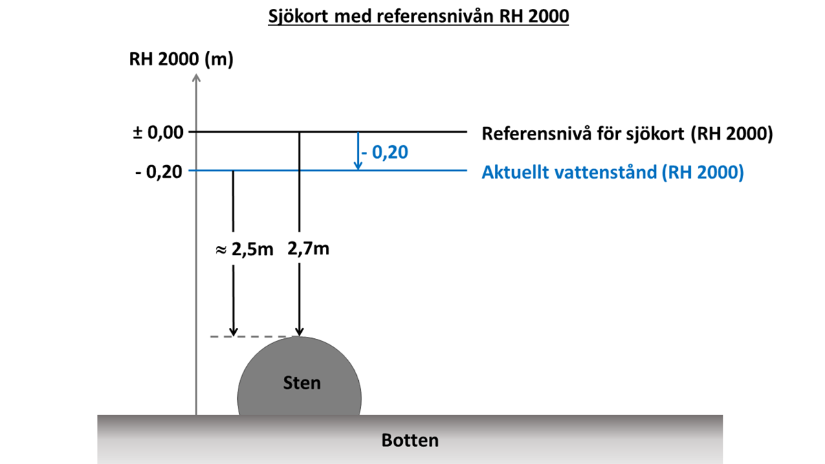
Example: A shoal in the chart is shown with a depth of 2.7 m and the current sea level in the area is ‑0.20 meters. If the chart and sea level data have the same reference level, it will be easy to calculate the current depth (in meters), which will be 2.7 – 0.20 = 2.5 m, see the sketch below. This means that it should not be expected that the current depth on the shoal is more than about 2.5 m, provided that the depth reported in the chart is based on good quality data.
See adjacent links for information and data about current sea level and further information on height systems in general and RH 2000 in particular.

Last updated 2021-09-29