Reference Levels
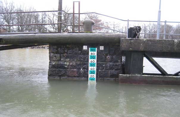
Water depth is commonly referred to as "depth from the surface" but, because the sea level in our waters varies over time due to wind, currents, tides, etc., a more stable and well-defined level is needed to serve as a reference for depth information on nautical charts.

Water depth is commonly referred to as "depth from the surface" but, because the sea level in our waters varies over time due to wind, currents, tides, etc., a more stable and well-defined level is needed to serve as a reference for depth information on nautical charts. Information about which chart datum is used for a specific chart is printed to the right in the top margin on the printed chart.
As a result of sea level variations, the true depth in an area will often not fully correspond to the depth stated on the chart. The difference is rarely more than 0.3 to 0.5 meters (1-2 feet), but if a more accurate depth is required the charted depths must be corrected for the current sea level. For this correction, it is also important to know which reference level the sea level data is referring to.
The fact that large parts of Sweden experience gradual land uplift can also have implications for the actual depth in relation to the charts’ depth. In northern Sweden, where the uplift is greatest, this difference can be up to about 0.5 meters in current chart products.
In adjacent sub-headings and links, you can find more information on reference levels and their significance for the chart products.
Relaterade länkar
Last updated 2021-06-21